
Page 13 - Practical Petroleum Geology, 2nd Edition
P. 13
PRACTICAL PETROLEUM GEOLOGY Exploration
Petroleum Extension-The University of Texas at Austin
In this chapter:
• Collecting data using survey tools and databases 4
• The evolution of seismic surveys and interpretation
• Types of well logs and core samples Exploration
• Contour maps and digital models
In the past, exploring for petroleum was a matter of good luck and guesswork.
In the early days of exploration, drilling near oil or natural gas seeps where
hydrocarbons were present on the surface was the most successful method
for finding hydrocarbons under the ground. Today, petroleum explorationists
with extensive geologic training use sophisticated technologies and scientific
principles and guidelines to find oil and gas.
Surface and subsurface geologic studies drive the discovery of oil and
gas. Seismic data, well log data, aerial photographs, satellite images, gravity
and magnetic data, and other geologic data provide information that help
determine where to drill an exploratory well. Specialists examine rock frag-
ments and core samples brought up while drilling the exploratory well and
run special tools into the hole to get more information about the formations
underground. By examining, correlating, and interpreting this information,
explorationists can accurately locate subsurface structures that might contain
hydrocarbon accumulations worth exploiting.
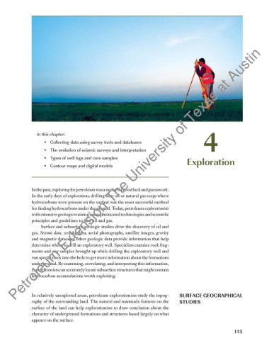
In relatively unexplored areas, petroleum explorationists study the topog- SURFACE GEOGRAPHICAL
raphy of the surrounding land. The natural and manmade features on the STUDIES
surface of the land can help explorationists to draw conclusion about the
character of underground formations and structures based largely on what
appears on the surface.
113